Is there an app to survey land? You must have wondered about that question. Otherwise you would not have been on this page. And if you wondered about that question, then you are lucky. Because on this page you will find the answer on this question. So:
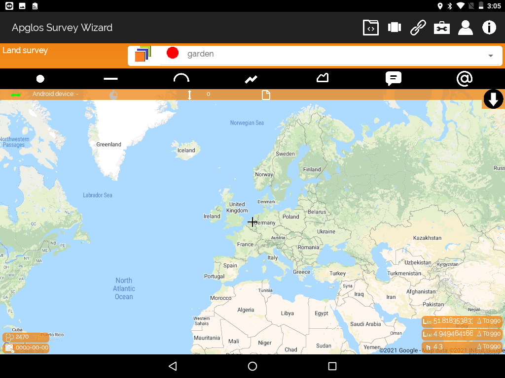
Is there an app to survey land? Yes, there is. The best one and easiest to use app to survey land is Apglos Survey Wizard. But when you want to survey your land accurate, then besides a land survey app you also need an external GNSS receiver.
To explain you more about if there is an app to survey land I will answer you some more questions on this topic:
- Why is Apglos Survey Wizard the best app to survey land?
- Is Apglos Survey Wizard available on Android and iOS?
- What does an app to survey land has to do?
- Why you need also an external GNSS receiver to survey land?
Is there an land survey app? Quick solution
As I already mentioned there is an app to survey land. It is called Apglos Survey Wizard. And maybe you don’t feel like reading this complete article. So if you want you can download this land survey app Apglos Survey Wizard on the Play Store.
Apglos Survey Wizard is free to try. Because after registration you get 2500 coins for free that you can use in this land survey app. That is sufficient to try the complete GPS app.
But if you like Apglos Survey Wizard, and I think you will, then you can buy more coins or a time license in our webshop.
Why is Apglos Survey Wizard the best app to survey land?
If you want to find land survey app then you probably already checked the Google Play Store. And when you search there for land survey app, then many apps will appear. It will take a lot of time to test them all.
And if you would then I think you might even get frustrated. The reason for that is that many apps on the Google Play Store won’t have the functionality that you are looking for. Or maybe they have the functionality, but are not easy to use.
Then the first question we should ask is: “What functionality does an app to survey land need to have?” And of course you can debate about this. But I think you would agree if I say that a good land survey app needs at least the following functions:
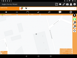
- Map objects like points, lines, polylines and polygons
- Give the mapped objects a name
- Save the mapped objects in a file format like TXT, DXF, KML
- Save the objects in a coordinate reference system that you can select
- Connect with an external GNSS receiver
For sure not all apps that mention that they are a land survey app on the Google Play Store have this functionality. But Apglos Survey Wizard does.
But then Apglos Survey Wizard has another major benefit over all other land survey apps. In the land survey app Apglos Survey Wizard there is a in-built walk-through. Here you can select what you want to do and the app will tell you exactly what you need to do.
And that is great if you just start to use Apglos Survey Wizard. That is why Apglos Survey Wizard is the best app to survey your land.
Is Apglos Survey Wizard available on Android and iOS?
I already mentioned that Apglos Survey Wizard is available on the Google Play Store. It is not available yet on App Store of Apple. But this year that will change. Our developers are doing everything to get a version of land survey app Apglos Survey Wizard ready for iOS.
There is some difference between Android and iOS. The main difference is the acceptance of external Bluetooth devices. Android accepts all Bluetooth devices, but iOS only accepts Bluetooth devices, which are approved by Apple.
And to be able to survey land accurate you need an external GNSS receiver. Unfortunately Apple hardly approved any external GNSS receiver to connect with an iOS device through Bluetooth.
But as mentioned this year we will come with a solution.
What does an app to survey land has to do?
If you are looking for an app to survey land, then you already have a picture in your head of what this app should do. I already mentioned some functions before.
But of course if you want to survey land then you need to be able to map objects like trees, street furniture, buildings, pavement. And when you think of that, it means that you at least need to be able to map points, lines, polylines and polygons.
Also you need to be able to give the mapped objects a name. If you don’t give the objects a name then later you won’t remember what you mapped before.
All GPS surveying apps work with latitude and longitude. Only when you put those coordinates to a map it won’t relate to your local coordinate reference system. Almost every country has their own coordinate reference system. In the USA all states have different coordinate reference systems.
That means that an app to survey land needs to transform the latitude and longitude to a X- and Y-coordinate or a northing and easting.
But that is not the only thing. Besides the northing and easting the height is also very important. Knowing the height difference between objects you can determine if something is possible or not. Also an app to survey land needs to be able to convert a GPS height to a local height or vertical datum.
Why you need also an external GNSS receiver to survey land?
An land survey app needs to be able to do a lot. But there is something that a land survey app won’t have any control on.
All land survey apps that you can download from the Google Play Store will use the phone GPS to determine the position. The problem with the phone GPS is that it is not that accurate. If you use phone GPS then frequently you will have a deviation of more than 5 meters.
And when you survey land you don’t want a deviation that is bigger than a few centimeters.
That is why you also need an external GNSS receiver to survey land. An external GNSS receiver not only has a bigger GPS antenna. It also as an RTK module. This RTK module determines the position based on the received satellite signals and on the correction signals.
These correction signals can come from a base station or from an NTRIP caster.
A good app to survey land will be able to connect with an external GNSS receiver. And of course Apglos Survey Wizard does that.
Conclusion of “Is there an app to land survey?”
The conclusion of this article can be kind of short. Yes, there is an app to land survey. The best one is Apglos Survey Wizard, that you can download in the Google Play Store. It is free to try. I expect that we launch a version of Apglos Survey Wizard on iOS this year.
When you really want to land survey then besides an app to land survey you also need an external GNSS receiver. The external GNSS receiver will make sure that you can land survey with centimeter accuracy.
Of course if you want to use Apglos Survey Wizard more then you can always buy more coins or a time license in our webshop.