What Nestle On2go is
Great, you found this product Nestle On2go. It is an easy-to-use land surveying app for Android. It is made for the RTK-GNSS System GNPS-42 by Gottlieb Nestle. The total GNSS system will make you happy. But more about that later.
Mapping
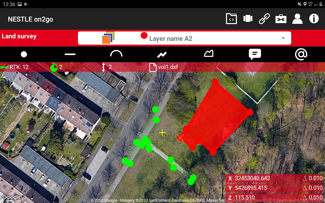
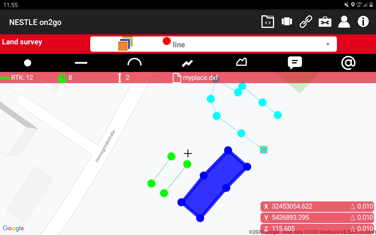
So Nestle On2go is a land survey app. And it is easy to use. With this Android app you can do a lot of things. For example you can map an area. In the field you can survey points, lines, arcs polylines and even polygons. And to make it more complete you can even add symbols and comments to the output files of your data.
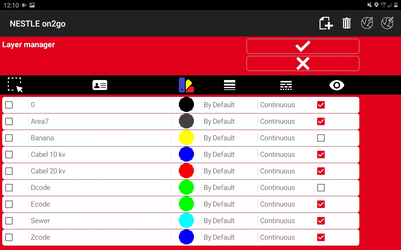
For Nestle On2go you don’t have to remember any codes. No one likes to remember the codes for land surveying. This land survey app works with layers, that you can select. You can import and export the layers. So there is not much typing.
File formats
You can export the mapped data into many different types of file formats. One of the most used is DXF. The DXF files from Nestle On2go are openable in AutoCAD, Microstation and in any other drafting software. Besides DXF there are more file formats that this app can save data to. For example there are TXT and CSV file formats. And if you want to work in 3D you can use landXML.
Besides that Nestle On2go is one of the few land survey apps that also offers GIS functionality. That is why you can save also in a GIS project file, that creates SHP, SHX, DBF and PRJ files besides the GIS project file it self. Besides that you can also save your GIS data to KML with this Android app.
Staking out with Nestle On2go is easy
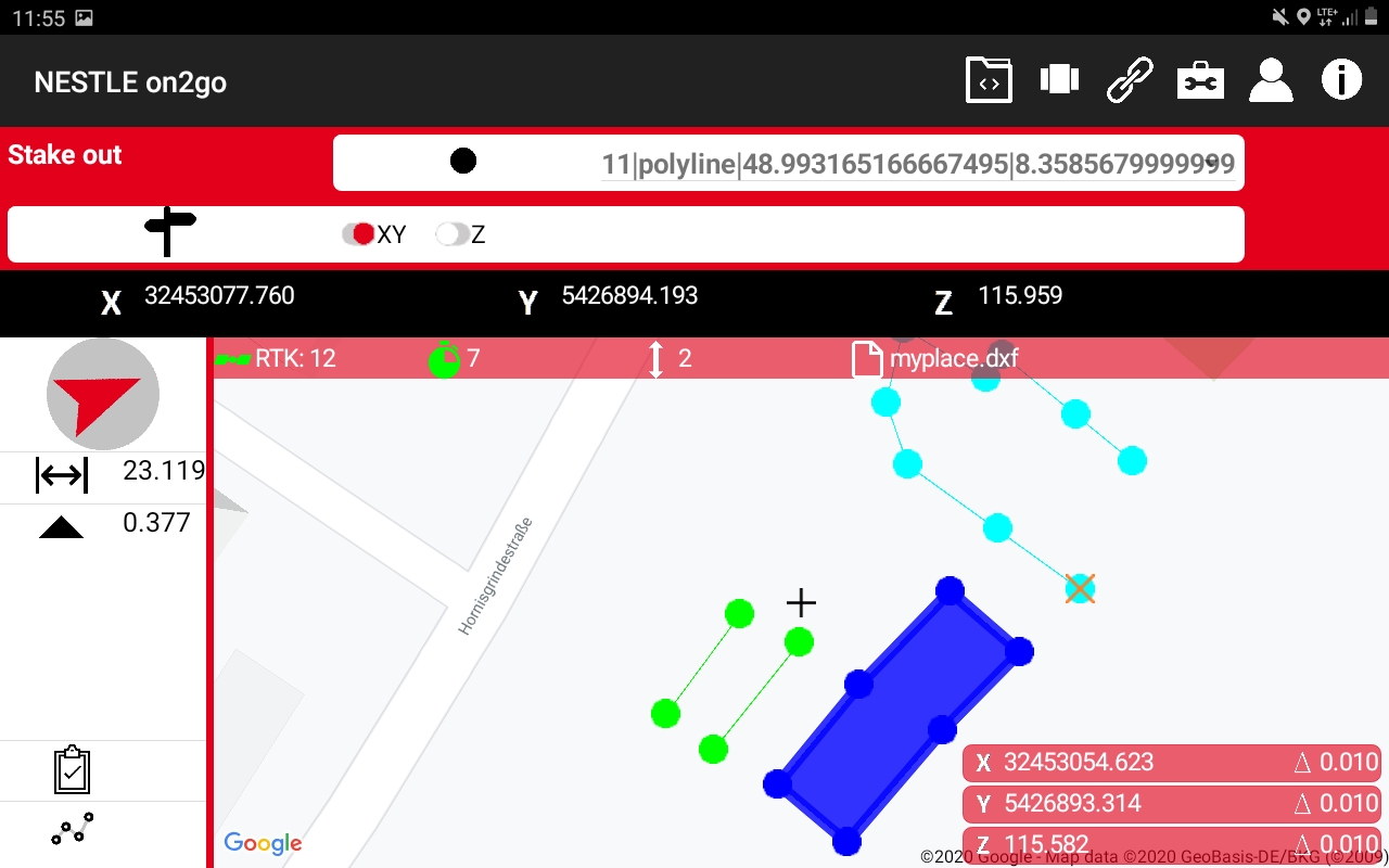
Besides mapping there is more functionality in Nestle On2go. You can also stake out with this land survey app. And it is very easy. You only have to select a point, line, arc, polyline or polygon. And then the app will show you exactly where to go.
For staking out the Nestle On2go app uses the sensors of the tablet of the Nestle RTK-GNSS System GNPS-42. In this way you never need to know where the north is, because however you hold the tablet the arrow wil point in the direction of the element that you want to stake out.
And this is not only in the horizontal direction. But it is also in the vertical direction. Staking out has never been easier than with Nestle On2go.
Drawing
Sometimes you need to draw something in the field. With Nestle On2go you can do it fast. There is an intuitive screen just for drawing. In this screen there are several options, like:
- Adding a point manually
- Drawing a line
- Adding an arc
- To add a point to a polyline
- Adding a point to a polygon
- Changing the height of a point
- Extending an element
- To shorten an element
- To offset an element
Calculation with Nestle On2go
And then there is calculation. It is awesome if you can get the correct data in the field right after mapping it without having to send it to the office. Nestle On2go makes this possible. You can determine quantities on the spot.
Of course you can count the elements. But you can also measure and calculate distances and height differences. Lengths of elements can be determines. And also the calculation of areas and volumes are easy. And all this calculation can be done on the spot.
Benefits of Nestle On2go
As you can see you can do a lot with this land survey app. This offers you a lot of benefits. First of all we need to tell you that a lot, but really a lot predefined coordinates systems are already integrated in the software. This means you don’t have to fill in any parameters and other stuff. Just select and survey.
That means using Nestle On2go is quick. And when it is quick you can save time and money. And we all want to do that. With Nestle On2go you can also land survey yourself. That means something that you don’t have to hire external land surveyors anymore. And that has lots of benefits.
First of all you don’t have to pay the external land surveyor anymore. And that means you save even more on your expenses. Land surveyors are usually not the cheapest workers in the field. So you can build your projects for less.
Another issue with external land surveyors is that you can not always arrange their schedule the way you want it. So that means you sometimes have to wait for the land surveying project to be done. Now with Nestle On2go that time has passed. This land survey app is together with the Nestle RTK-GNSS System GNPS-42 so easy that you can do it yourself at the time that it suits you.
And of course when you land survey yourself then you are in control of the quality of results of the land surveying project. You decide which point or which line element you still map and which not. Besides you have more time on the project so you will see more as well. This means that when you use Nestle On2go the quality of the whole building project and not only of the land surveying part will improve.
So there are lots of benefits to start using Nestle On2go.
Combination with NESTLE RTK-GNSS System GNPS-42
Nestle On2go is part of a bigger picture. It is the software of the NESTLE RTK-GNSS System GNPS-42. This system is sold by the dealer network of Gottlieb Nestle.
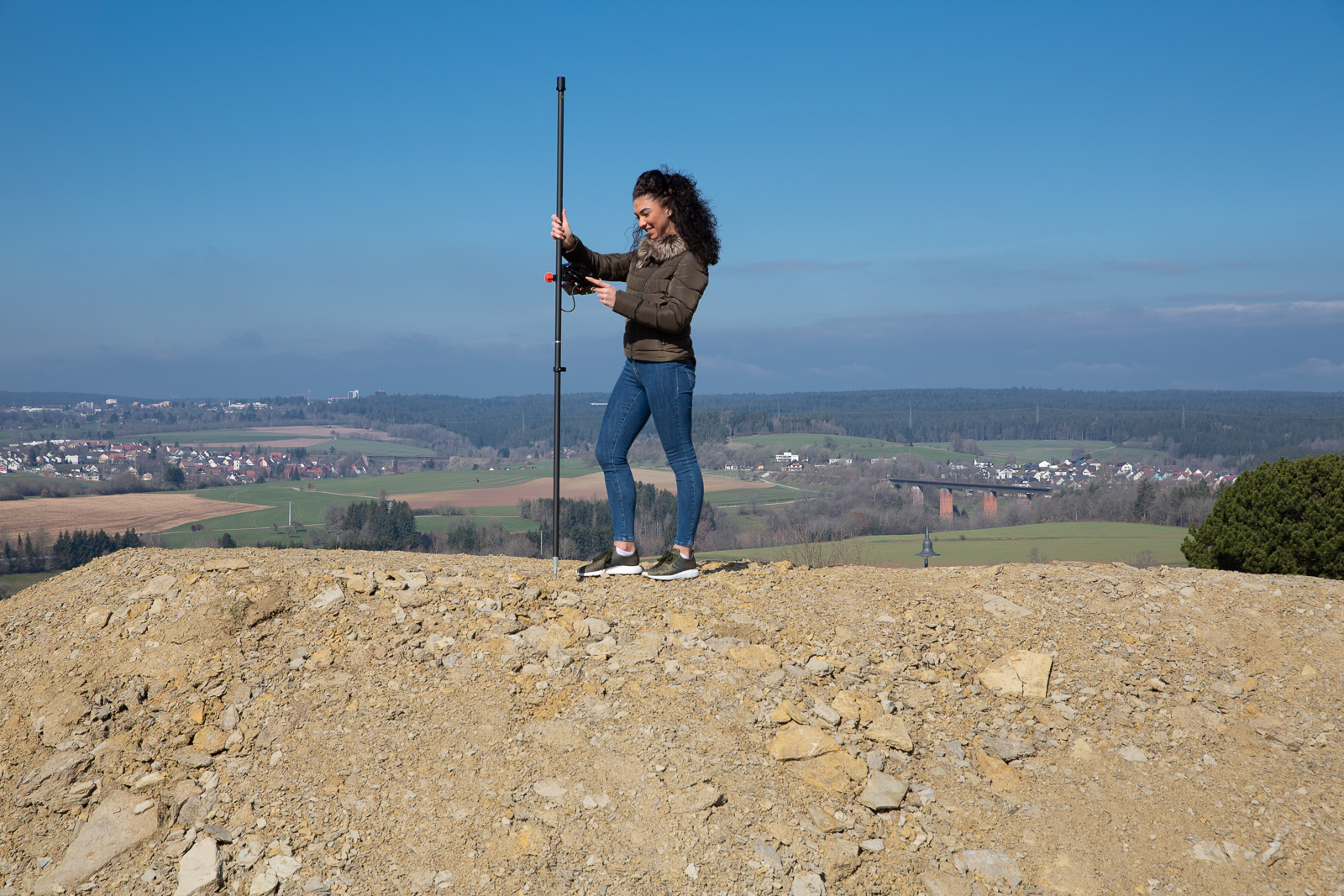
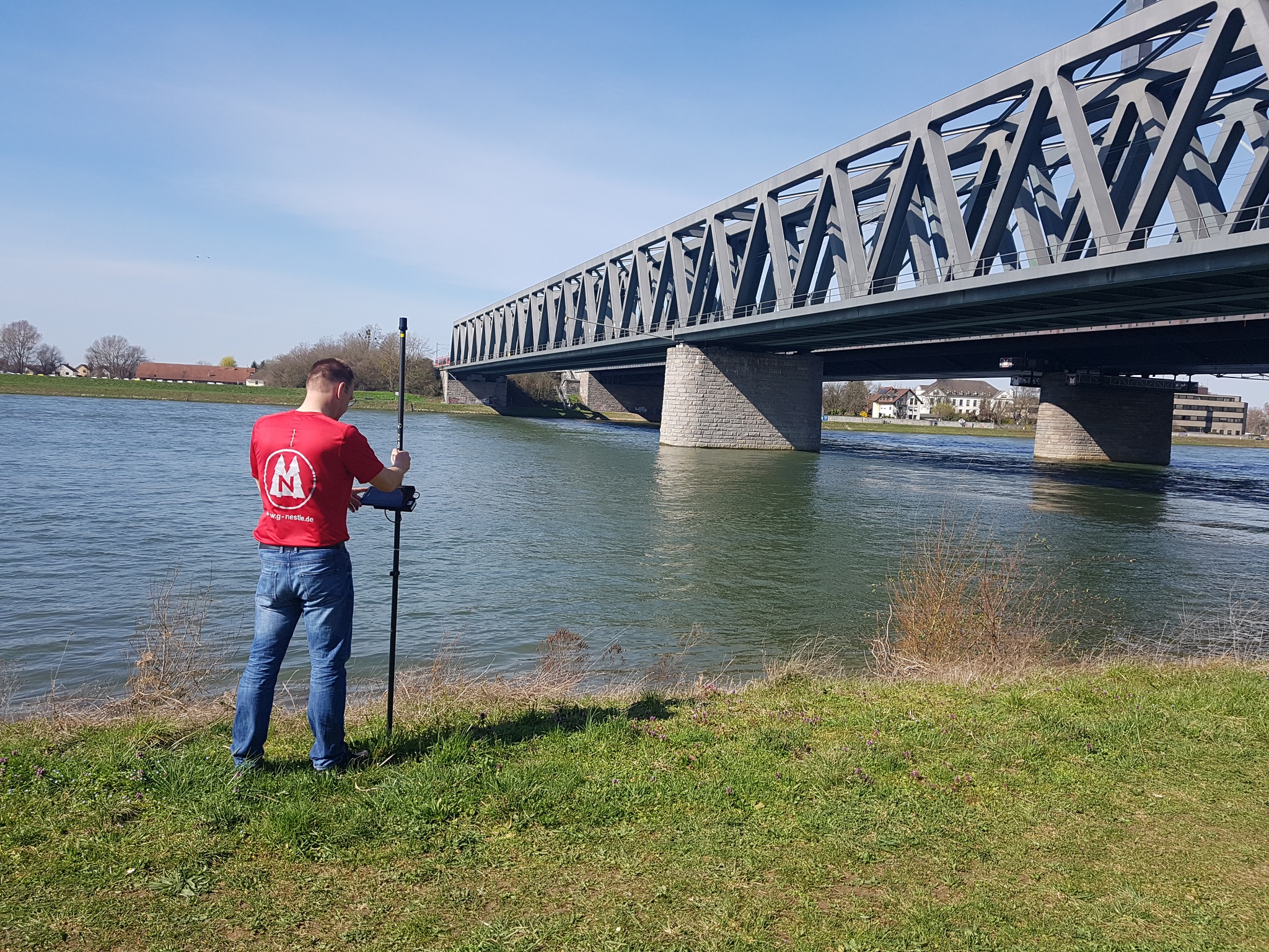
The NESTLE RTK-GNSS System GNPS-42 comes with different items that make a complete GNSS land survey kit. The items in this kit are:
- a helix antenna
- GPS rod in two pieces with cable
- an Android tablet
- the GNPS-sensorbox with cable to connect
- a mount to connectthe tablet to the GPS rod
- the holder to stand the GNSS kit to a wall
- a bag to carry the complete kit
Of course there is also the Nestle On2go app, which is a rebranded version of Apglos Survey Wizard, that we are the developers of.
Besides that this GNSS kit is complete it has one incredible advantage. And that is not only because it has the easiest to use software. But besides that it is easy to use it is also very light. The complete system is according the specifications only 1.76 kg.
There are GNSS receivers that already weigh more than this complete system. That means that working with the NESTLE RTK-GNSS System GNPS-42 is not hard for your body. It is ergonomic, because the biggest weight of the system is at the point where you hold the GNSS system.
So together with the easy-to-use land survey app Nestle On2go the NESTLE RTK-GNSS System GNPS-42 is a great solution for everyone that has to land survey. That goes for everyone. If you are just needing to land survey once a week or even less this system will work for you. But the system is also great for any land surveyor, because even if it is easy to use it has lots of functionality.

Reviews
There are no reviews yet.